



Historian's route
1 tickets€29
Source: Prof. Dr. İlber Ortaylı (1947–2026)
İlber Ortaylı's Istanbul walk, in two days
1 ticketed stopsOpen the route

An Istanbul street that was talked about for a century but never openly acknowledged. Read the story of Zürafa Sokağı, just behind Karaköy pier, in four parts; then walk its site, the surrounding Yüksekkaldırım, Galata Tower and the Camondo Steps, and end the day with the memory of the district at SALT Galata, in the former Ottoman Bank building.
Karaköy has been Istanbul's port since Byzantine times. The district grew up inside the walls of Genoese Galata, and in the 19th century it became both the financial centre of the empire and a place where sailors, migrants and travellers passed through.
Around the quay there were sailors' lodging houses and taverns. Everyone going up from the port to Pera climbed the steps of Yüksekkaldırım and passed through the narrow streets of Galata.
According to the sources, the brothel in Galata was opened during the reign of Abdülhamid II for Europeans living in Beyoğlu; after the founding of the Republic, the brothels were concentrated in Zürafa Sokağı, a cobbled dead-end street right behind Karaköy pier.
There were 42 houses on the street; 37 of them belonged to Matild Manukyan, who was named among the country's top taxpayers of her time. It was a place the whole city knew about but avoided naming; the stories of the women who worked here mostly went untold.
By 2016 only four houses on the street were still operating. The brothels were closed in 2020 during the COVID-19 pandemic and never reopened.
In 2022 the street was included in the Beyoğlu Culture Route project; the buildings were demolished and the street was renamed Alageyik Sokak to erase its old reputation.
According to the latest press reports (May 2026), the site of the demolished houses is screened off with hoardings. The area is planned for cultural and artistic use, but no museum or exhibition has opened here yet. If anything opens, we will update this page; check before you go.
Visit the street not as a curiosity but as a site of memory the city long chose to ignore: the next stops complete the story of the harbour district around it.
Dark tourism means visiting places where people have confronted suffering, loss and hard labour: prisons, dungeons, abandoned and submerged towns, underground shelters, and the factories and mines that paid the price of industry. Every place in this collection can be visited legally and with permission; there are no routes into abandoned private property or building sites, or routes built around watching neighbourhoods where people live. Battlefields, martyrs' cemeteries and memorial sites are in the “Remembrance and mourning” collection. Please respect the story of the places you visit.
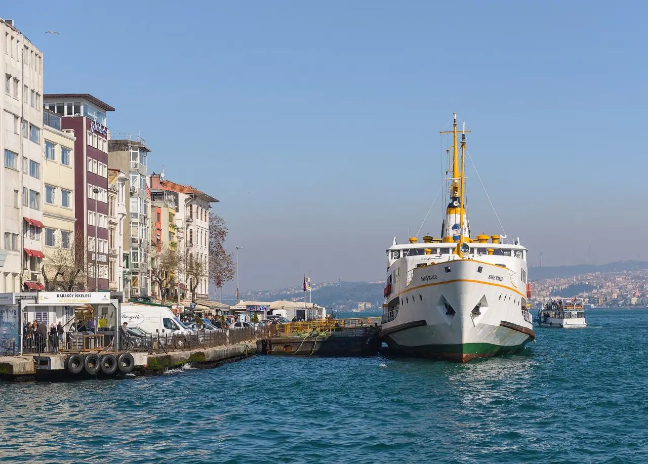
Start: Karaköy ferry pier and tram stop · stay 15 min
Where the harbour district begins. Passengers off the ferries, sailors and porters entered the city here, which is why it is no coincidence that Zürafa Sokağı lay "just behind" the pier. Read the first part of the story here, looking out to sea.
≈ 6 min walk (400 m): from behind the pier to Kemeraltı Caddesi, then into the street · stay 20 min
The dead-end street that held the 42 houses. The brothels closed in 2020, the buildings were demolished in 2022 and the street was renamed Alageyik. Today you can only see the site: read the second and third parts of the story at the top of the street.
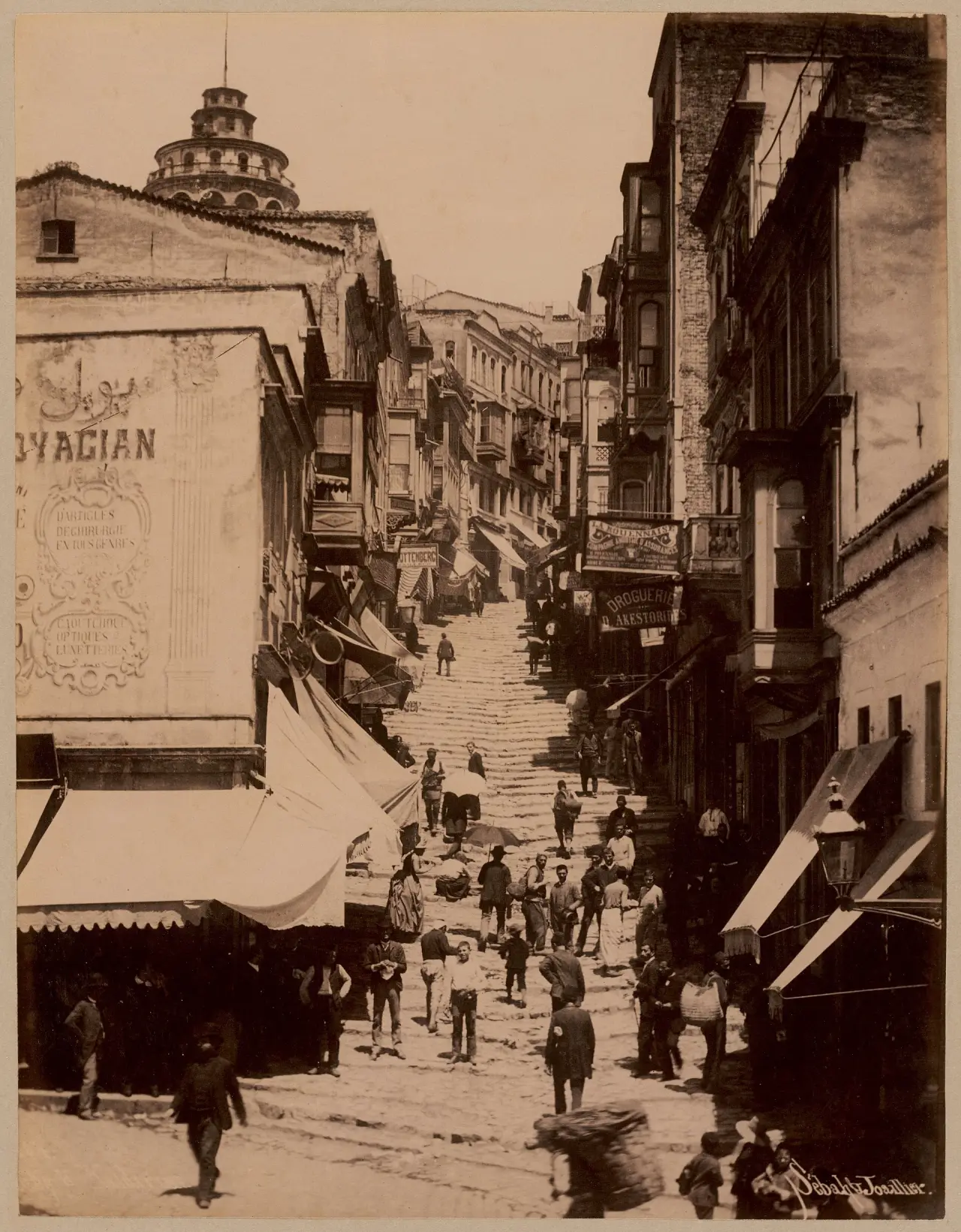
The site of the demolished houses is screened off; do not go in, look only from the street. Check before you go whether a museum or cultural centre has opened. (Photo: Yüksek Kaldırım, right next to the street, 1890s; no freely licensed photo of the street itself could be found.)
≈ 2 min walk (100 m) · stay 15 min
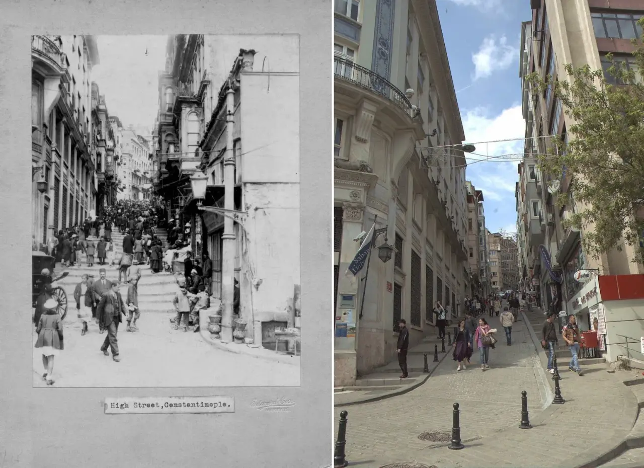
The stepped street linking Karaköy to Galata. In the 19th century this was the way for everyone travelling between the port and Pera; in the photo you can see the same street a century apart. Today the shops on both sides mostly sell musical instruments.
≈ 5 min uphill (300 m) · stay 45 min
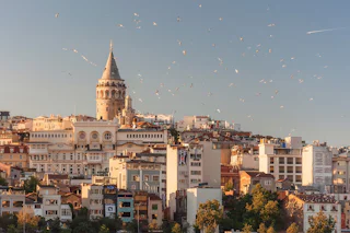
The 14th-century tower of Genoese Galata. From the top you get a bird's-eye view of the harbour, the Golden Horn and the streets you have just walked; from here you can see how close Zürafa Sokağı was to the port.
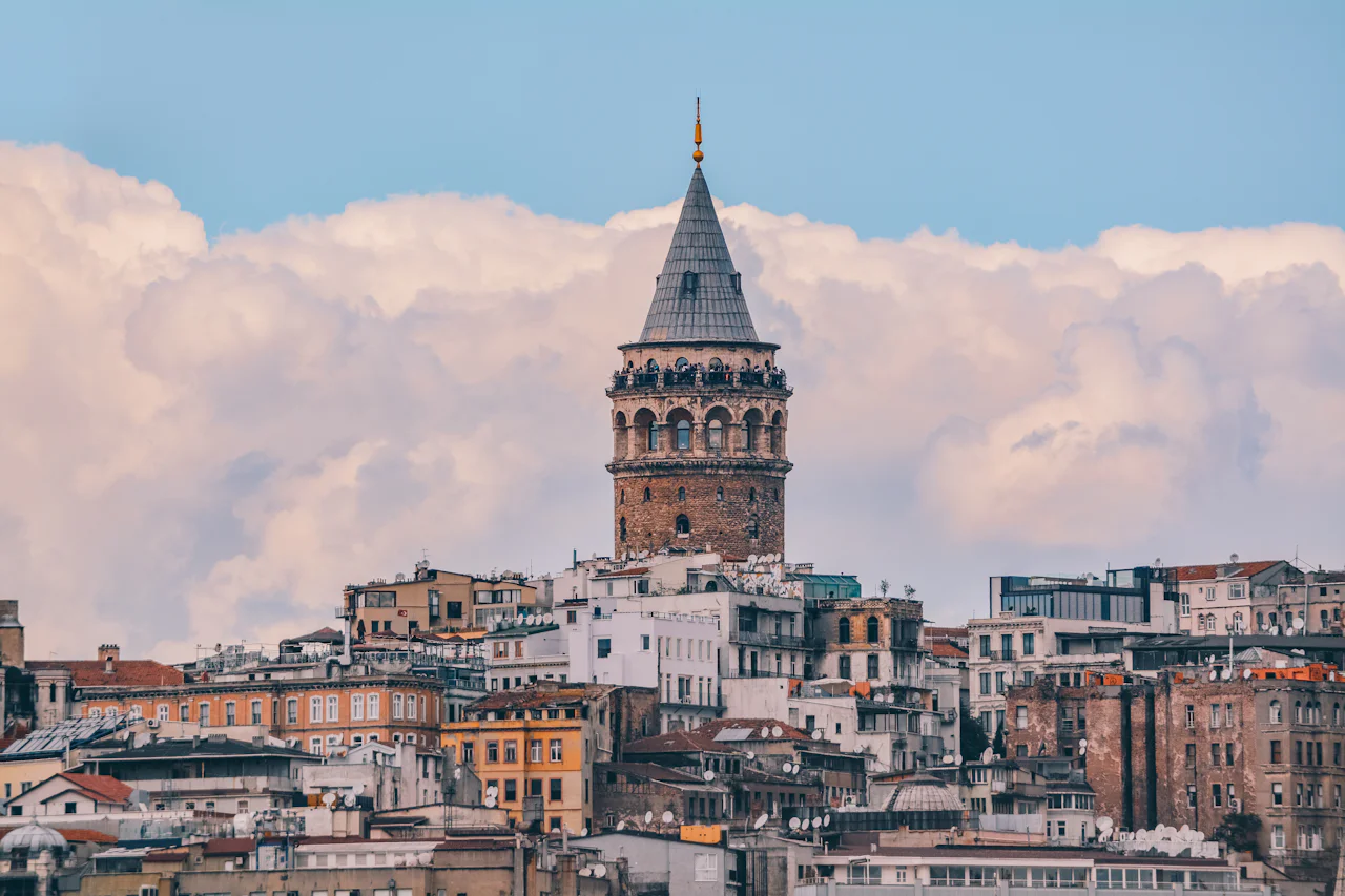
Entry to the tower is ticketed and there may be a queue; check current hours and prices before you go.
≈ 4 min walk downhill (250 m) · stay 10 min
Elegant, intertwining steps climbing from Bankalar Caddesi up to Galata. They are said to have been built by the Camondo banking family in the late 19th century; the other face of Karaköy, the district of the port and of money.
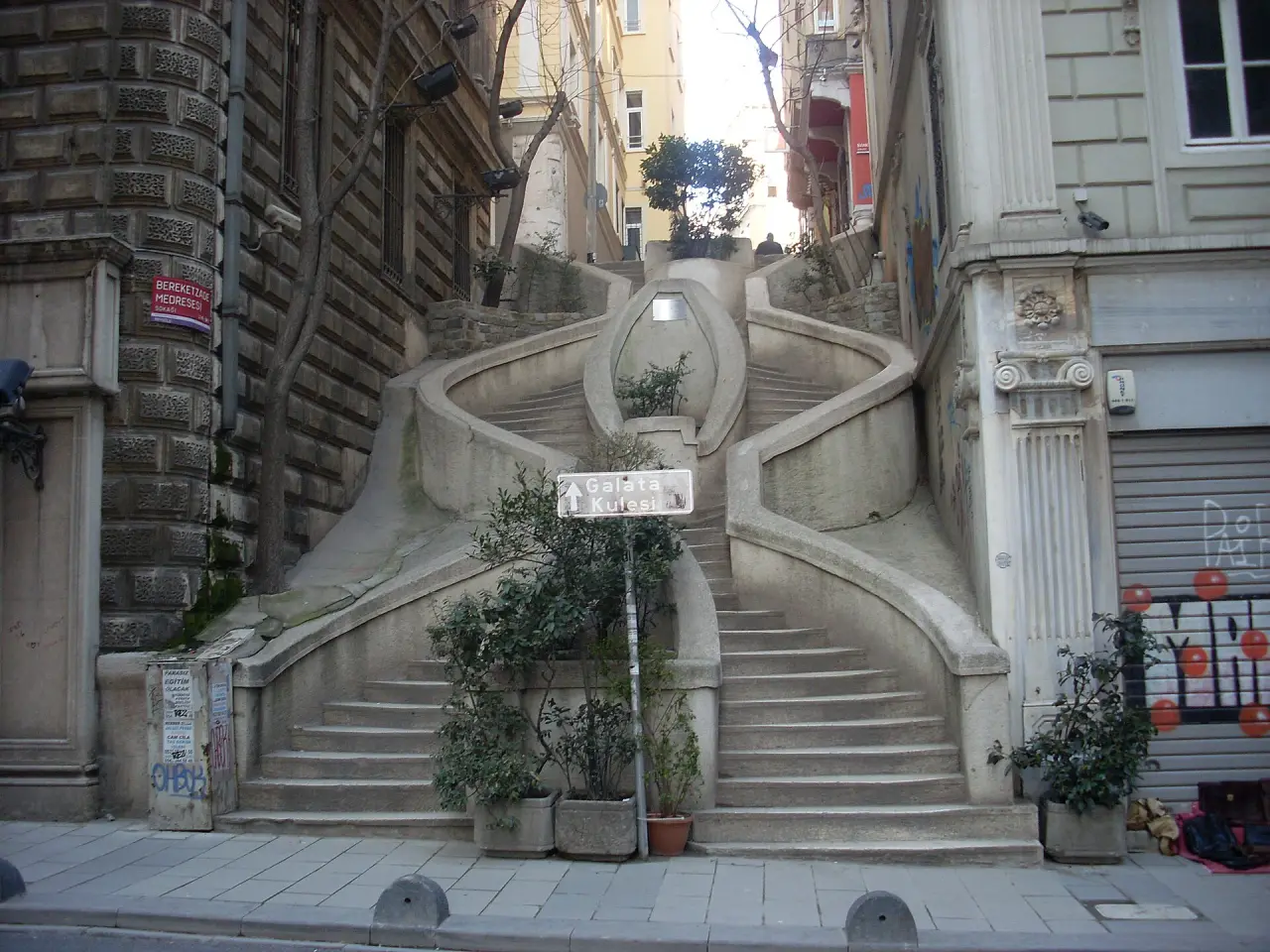
At the bottom of the steps, Bankalar Caddesi · stay 60 min
The Ottoman Bank's headquarters, built in the late 19th century, is now SALT Galata: a research library, exhibitions and a museum section on the history of the bank. Most of the old photographs of Karaköy are in the SALT Research archive, including one of the photos on this route.
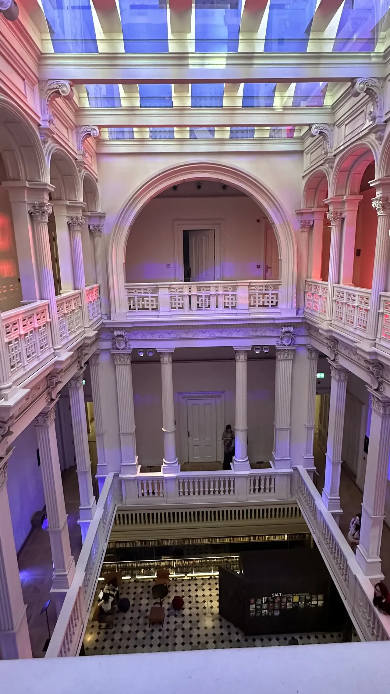
Check opening days and hours on saltonline.org before you go.
≈ 2 h 15 min · fast ferry + bus · Day trip
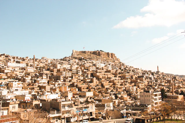
Why here: The first Ottoman capital. The Green Mosque, the Grand Mosque and Koza Han make an easy day trip; we suggest it if you are staying in Istanbul for more than four days. Not part of this route.
Travellers who check in on this route can rate it. No one else can.
Be one of the first travellers to walk this route. If you have a question or a tip, share it with the community.
After walking the route you can rate it using the check-in in the app. Reviews go live after a short check.
Source: Prof. Dr. İlber Ortaylı (1947–2026)
Source: Prof. Dr. İlber Ortaylı (1947–2026)
